Sample report, invented property

Defensible space report, methodology v0.3
Sample report
25 August 2026
1042 Emberline Ridge Road
Nevada City, CA 95959, Nevada County
This address is invented for demonstration. There is no such property, and nothing on this page describes a real home. The photographs are the product’s own illustrative artwork, not a customer’s.
Defensible Space Score
Substantially defended
Range 50 to 74. This is a declared uncertainty band, and it is declared rather than calculated from a sample.
Your answers only. Nothing has been sent to us yet.
Ceiling on this assessment: 90.
The band is a plain report of where the score lands in the published ranges. Nothing else moves it. The same answers produce the same number under methodology v0.3 whenever it is run again.
The gates
2 of 4 in place
A gate can hold the label back until it is met. It never subtracts points. They are listed here so what is missing and what is simply unconfirmed are both visible, and never merged into one number.
Not in place
- Noncombustible groundcover in the first five feet
- Nothing stored against the house
Not confirmed
- Combustible material cleared from the first five feet
Absence of evidence is not evidence of absence. Not confirmed is not the same as missing, and it does not lower the score.
Site context, not scored
High hazard conditions mapped nearby
CAL FIRE maps this area in a High Fire Hazard Severity Zone. That is a statement about the conditions around the property, not about the house, and none of it is scored here.
What we have seen
No walkaround video was provided, so every answer on this report is the homeowner’s own. On answers alone the number is held at 90, which is the highest a property can reach without a complete loop of the house on film.
Evidence never adds points. It sets how wide the range is, it can correct an answer and have the score recomputed from the corrected answer, and a complete walkaround lifts the ceiling above 90.
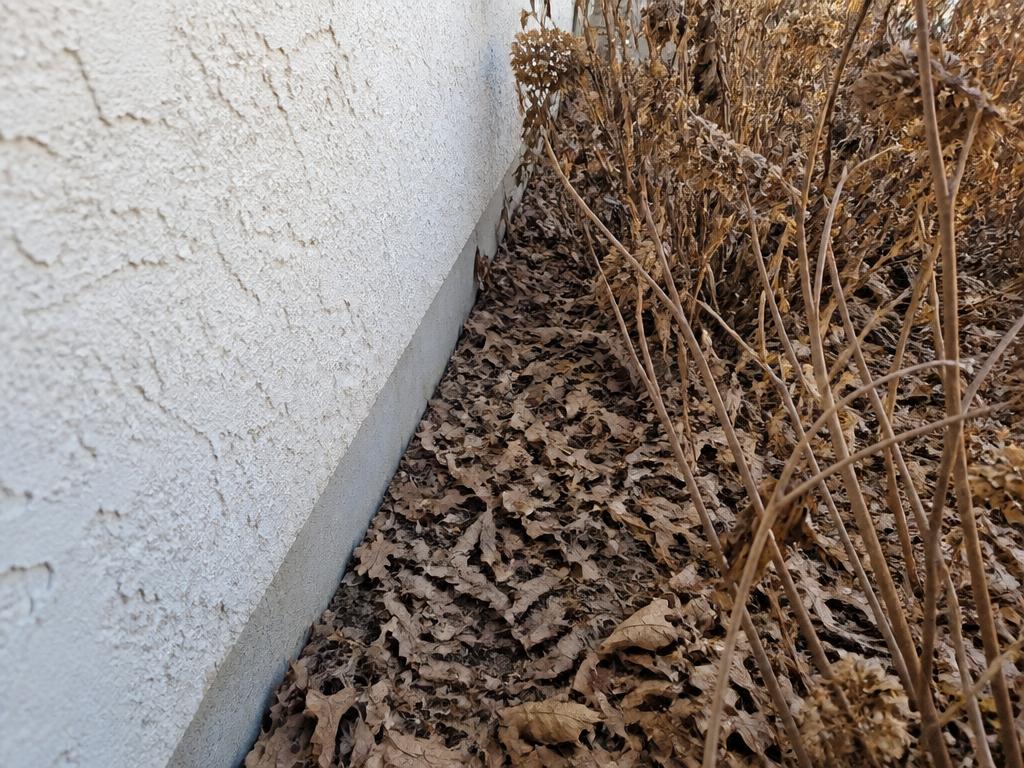
The first five feet, illustrative photograph

Vegetation at the wall, illustrative photograph

Firewood storage, illustrative photograph
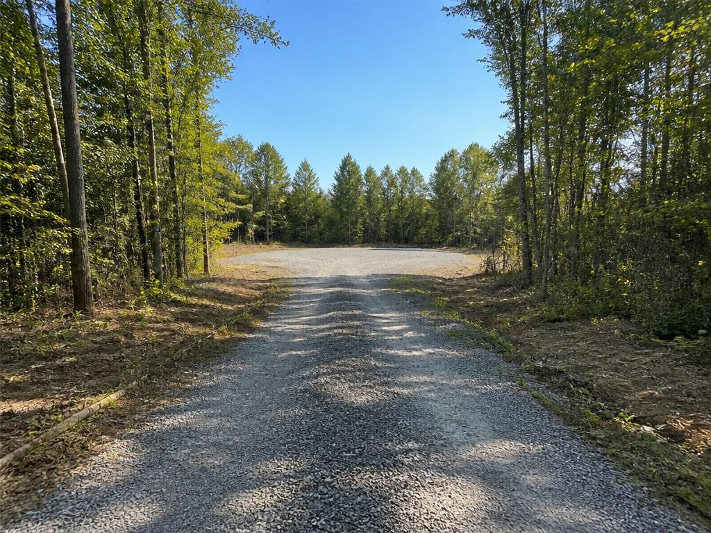
Driveway access, illustrative photograph
Zone by zone
Zone 0, the first five feet
33%
The band that decides whether an ember that lands beside the wall finds anything to burn. It carries the most weight of the four.
Zone 1, five to thirty feet
70%
The planted ground close in, where a fire either climbs or stalls.
Zone 2, thirty to one hundred feet
83%
The wider ground, where the aim is to slow a fire down before it arrives.
Perimeter and access
67%
The way in and out, and everything stored or built away from the house.
Every measure we looked at, 14 in all
- Not confirmed
First five feet clearGate
Combustible material cleared from the first five feet
Not sure
Zone 0, the first five feet. Source: Homeowner.
- Not in place
Noncombustible groundcoverGate
Noncombustible groundcover in the first five feet
Bark mulch or wood chips
Zone 0, the first five feet. Source: Homeowner.
- Part way
Nothing against the houseGate
Nothing stored against the house
A few items
Zone 0, the first five feet. Source: Homeowner.
- Part way
Ladder fuels removed
Ladder fuels removed
Some remain
Zone 1, five to thirty feet. Source: Homeowner.
- In place
Grass kept short
Grass kept short
Under four inches
Zone 1, five to thirty feet. Source: Homeowner.
- Part way
Shrubs spaced
Shrubs spaced, not continuous
Partly separated
Zone 1, five to thirty feet. Source: Homeowner.
- In place
Lower limbs cleared
Lower limbs cleared
Cleared to six feet or more
Zone 1, five to thirty feet. Source: Homeowner.
- In place
Vegetation off the houseGate
Vegetation not touching the house
Nothing touching
Zone 1, five to thirty feet. Source: Homeowner.
- Part way
Canopy thinned
Canopy thinned
Partly thinned
Zone 2, thirty to one hundred feet. Source: Homeowner.
- In place
Dead vegetation removed
Dead vegetation removed
Cleared
Zone 2, thirty to one hundred feet. Source: Homeowner.
- In place
Seasonal upkeep
Maintained every season
This season
Zone 2, thirty to one hundred feet. Source: Homeowner.
- Part way
Driveway access
Driveway clear for a fire engine
Tight in places
Perimeter and access. Source: Homeowner.
- Not in place
Firewood stored away
Firewood and fuel stored away from the house
Against or under the house
Perimeter and access. Source: Homeowner.
- In place
Outbuildings cleared
Outbuildings cleared and separated
Cleared and well separated
Perimeter and access. Source: Homeowner.
What to do next
Listed by fastest protection per dollar. Cost bands are ordinal planning ranges, not quotations.
1. Move the firewood stack away from the house
Lower cost
An afternoon of work with nothing to buy, and it takes a prepared fuel pile off the wall.
Perimeter and access
2. Clear the stored items out of the first five feet
Lower cost
A gate the report records as only part way. Gates hold the label back and never take points off.
Zone 0, the first five feet. Needs doing again each season.
3. Swap the bark mulch at the wall for gravel
Mid cost
Materials for a narrow band around the building, and it settles the groundcover gate.
Zone 0, the first five feet
4. Walk the first five feet and record what is actually there
Lower cost
Recorded as not confirmed rather than missing. Not knowing does not lower the score, and it does leave a gate undeclared.
Zone 0, the first five feet
5. Cut the shrub line back into separated groups
Higher cost
Continuous brush carries fire across the yard in one run. Gaps make it stop and start.
Zone 1, five to thirty feet
What this score does not cover
This score reflects only the landscape conditions a homeowner can change. The construction of the house itself, structure separation, neighbourhood density and terrain all matter, and none of them are scored here. The Home Hardening Score measures the structure, and the two numbers are built on different scales and are not comparable.
It does not tell you whether a carrier will write or renew a policy, it does not predict whether a home will survive a fire, and it does not tell you what any measure is worth under a carrier’s own filed rating plan. Only your carrier can tell you that.
DSS aggregates publicly available federal and state data for informational purposes. It is not affiliated with, endorsed by, or acting on behalf of any government agency, fire department, or insurer. Our scores, maps and estimates are not guarantees of insurability, premium, safety, or any outcome, and are not professional, insurance, legal, financial or engineering advice. Data may be incomplete, delayed, or contain errors.
Defensible Space Score is operated by AACI Group, which also owns Five Bays Insurance Agency, a licensed California insurance agency. If you request quotes, Five Bays may earn commission on any policy placed.